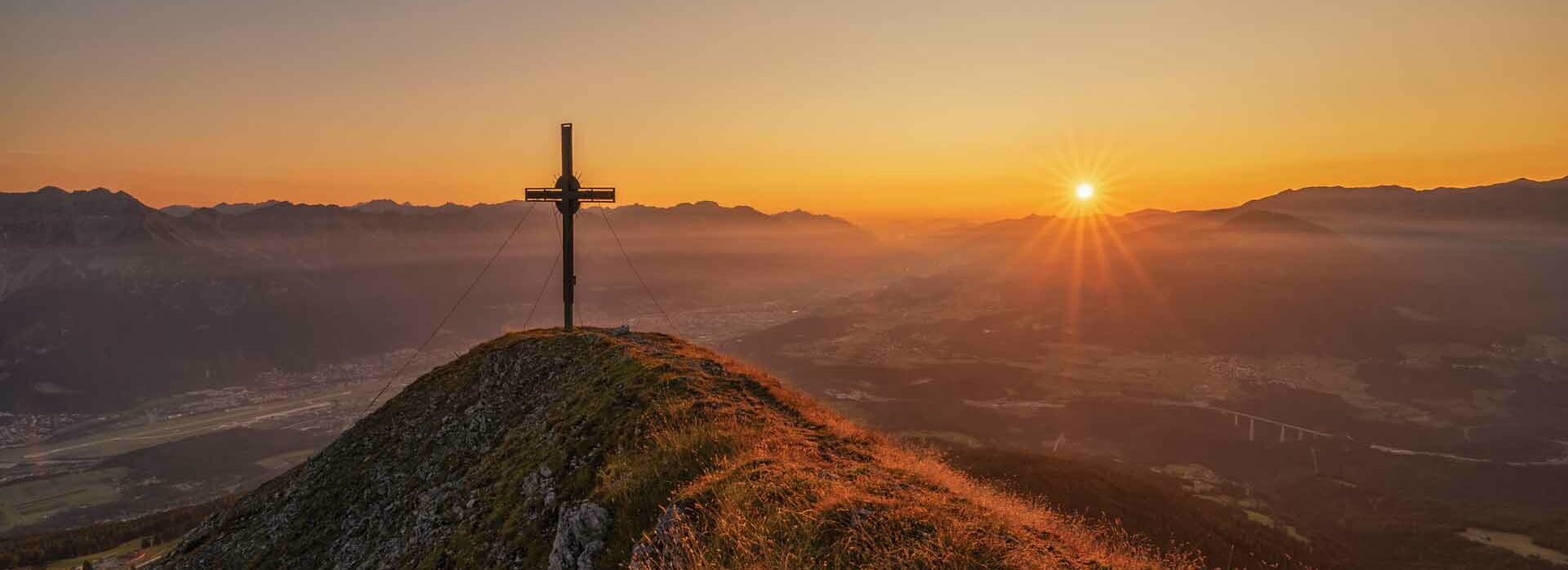
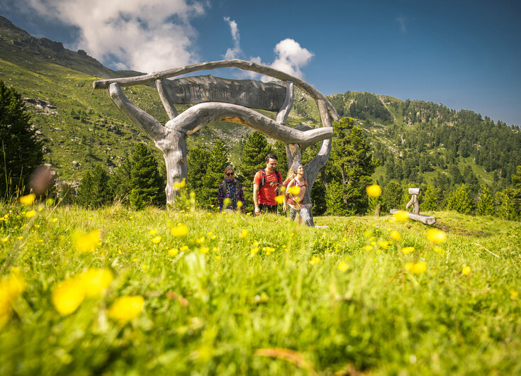
Easy, medium or difficult: Every skill level will find a suitable hiking route in Tirol. It's our pleasure to let you in on a few hiking suggestions for your summer holidays in the Region Hall-Wattens:
- Zirbenweg (Pine-trail):
Distance: 6.9 km, Duration: 2,5 h, Climb-up: (after taking the cable car) 180 mda, Climb-down: 275 mda, Difficulty: easy - Panoramic trail Hinterhornalm – Walderalm:
Distance: 3.6 km, Duration: 1 h 25 min, Climb-up: 257 mda, Climb-down: 251 mda, Difficulty: easy - Four-hut-hike - along Patscherkofel and Glungezer mountains: Distance:
10.9 km, Duration: 3 h 35 min, Climb-up: (after taking the cable car) 25 mda, Climb-down: 1,060 mda, Difficulty: medium - To the Blue Lakes: Distance:
15.6 km, Duration: 8 h, Climb-up: 1,609 mda, Climb-down: 1,554 mda, Difficulty: medium - Glungezer & Geier high route:
Distance: 15.6 km, Duration: 8 h, Climb-up: 739 mda, Climb-down 1,329 mda, Difficulty: difficult - Four-Summit-Tour along Glungezer high route:
Distance: 13.6 km, Duration: 5 h, Climb-up: 1,024 mda, Climb-down: 906 mda, Difficulty: difficult
You can find more detailed descriptions of the tours here or at our reception.
You can find more information about the guided hikes from the tourism office here.
Important: Mountain boots, weatherproof clothing and provisions (especially drinks!) are essential!


![Wandern in Tirol [Translate to EN:]](/fileadmin/_processed_/e/9/csm_hd-Wandern-Bergwelt-Tirol-2__dc5159304a.jpg)
![Die Walderalm [Translate to EN:]](/fileadmin/_processed_/3/8/csm_hd-walderalm-im-karwendel__628d910641.jpg)
![Der Reschenhof heißt Hunde ebenfalls herzlich willkommen [Translate to EN:]](/fileadmin/_processed_/4/2/csm_jamie-street-VoTLnbZjK6s-unsplash_1f3f47e19e.jpg)
![In Tirol gibt es unzählige Radwege [Translate to EN:]](/fileadmin/_processed_/5/5/csm_E-Biken-Walderalm-Sommer-aktiv-Gnadenwald-Hall-Wattens.at-1_65b4d68d16.jpg)